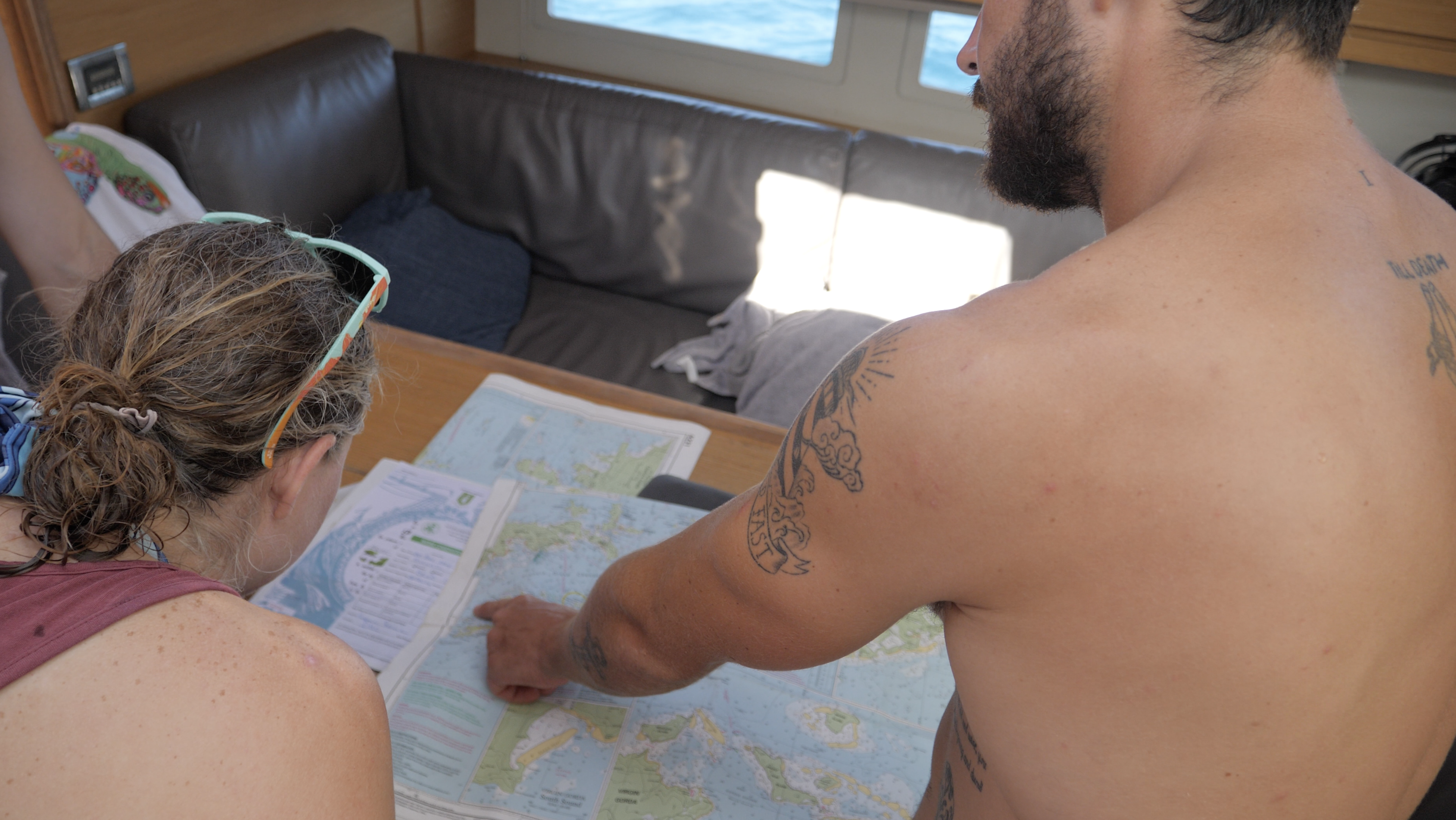
That first glimpse of a nautical chart can feel overwhelming. All those squiggly lines, random numbers, and mysterious symbols might as well be ancient hieroglyphics! But here's the awesome news: learning to read nautical charts is way easier than most people think.
After watching hundreds of sailing newbies transform into confident navigators, this guide breaks it down into 7 simple steps.
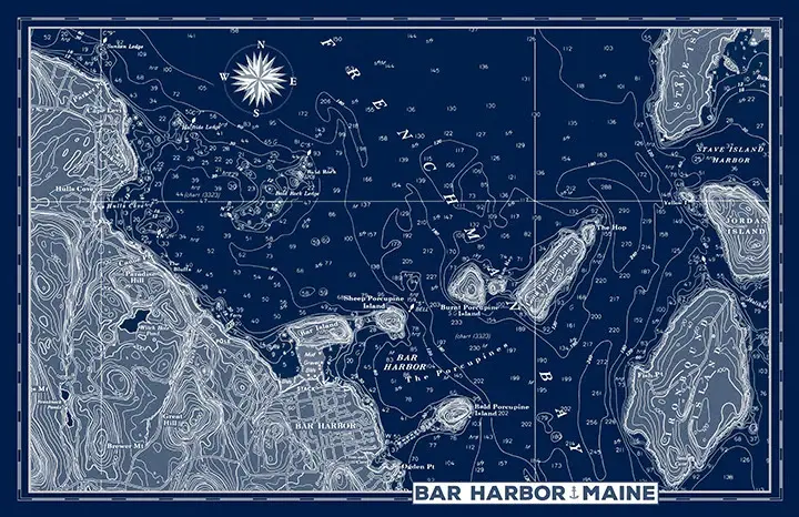
Step 1: Master the Color Code on Your Paper Chart
Understanding colors on a nautical chart instantly reveals safe passages and hidden dangers. Every shade tells boaters crucial information about water depth beneath their keel:
- Tan/Yellow areas = Land features and shorelines
- White water = Deep areas safe for navigation
- Light blue zones = Shallow water requiring caution
- Standard blue = Intermediate depth areas
The brilliance of this system shines through when you're approaching an unfamiliar harbor at sunset. One glance at your chart's colors guides you safely to anchorage.
National Oceanic and Atmospheric Administration (NOAA) charts use these standardized colors throughout U.S. waters, making navigation consistent from Maine to Hawaii.
Spend just 30 seconds scanning any harbor chart to identify deep versus shallow areas using colors alone. This skill becomes automatic faster than learning to tie a bowline!

Step 2: Decode Depth Soundings and Contour Lines
Those scattered numbers across your chart? They're depth soundings. Your underwater altitude readings show exactly how much water sits between your boat and the bottom:
- Soundings appear as individual numbers showing depth in feet, meters, or fathoms.
- One fathom equals 6 feet (a traditional unit of measurement still used today).
- Depth contour lines connect points of equal depth, revealing underwater terrain.
- Charts display depths at Mean Lower Low Water (MLLW), which is the average lowest tide level.
Understanding these depth indicators prevents that heart-stopping moment when your depth alarm suddenly screams. The contour lines work like topographic maps, helping visualize underwater valleys and mountains that affect anchoring and navigation.
A harbor chart showing "12" near the entrance means 12 feet of water at low tide. If your boat draws 5 feet, you've got 7 feet of cushion. That’s a comfortable clearance for most conditions!